featuring Connor Mockett
Hello, everyone! Welcome back to another week of The Weather with Connor. I’ve got plenty to talk about in this week’s column, from the first storm chase of the year, to the ridiculous wildfire smoke from Quebec.
I’ll start with the storm chase. On Friday, June 2nd, we had the first thunderstorm day across parts of Eastern Ontario and into Southwestern Quebec. Widespread severe thunderstorms were expected, and that morning, Environment Canada issued their first Severe Thunderstorm Watch of the year.
I did my forecast the night before, doing my usual severe weather style forecast for my Facebook page. During that time I started to hone in on a target area for my chase, which I shared the next morning on the 2nd. That area ended up being the town of Dalkeith, Ontario, a small little town just north-northeast of Alexandria. I left in the afternoon around 1:00pm, and around 2:30pm, storms had started to initiate in Quebec and began moving southwest towards Eastern Ontario.
I’ll admit, I got a bit antsy sitting around Dalkeith waiting for the storm to come to me, so I ended up driving towards it. That decision ended up being bad, as I ended up in Hawkesbury, and then chased that storm for far too long as it died. I ended up in Rigaud, Quebec (which is about 30 minutes from Montreal), which put me out of position for the other storms that were occurring back closer to home in Ontario.
I tried to race back home to get back in front of the storms, but I was unsuccessful. I got closer to some storms around Alexandria, but was never able to get in front of them. I ended my chase in St. Andrews, Ontario (which is just north of Cornwall on HWY 138). Thankfully, with me messing up my chase, I didn’t miss much because the storms were quite messy and unphotogenic. I’m very antsy for a good chase, but that looks like it will have to wait for a while until the second half of June.
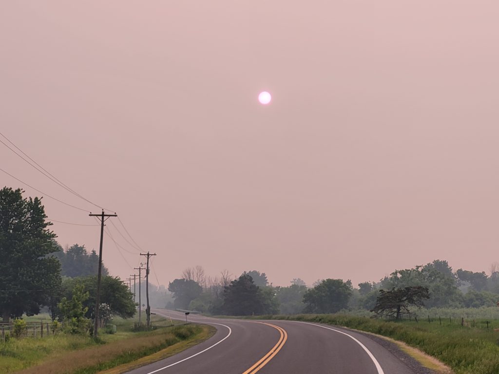
Now I’ll pivot to something more widespread. During the week of the 5th-11th, the region dealt with the worst wildfire smoke we’ve ever seen. Thick and yellow smoke made its way through the region, with the worst of it coming on Tuesday the 6th and Wednesday the 7th, both during the overnight and early morning hours.

The photos out of Ottawa were astounding. Smoke was so thick, street lights were coming on because it was dark enough outside for them to be on. The smell outside was very obvious, it smelt like a campfire out there. Visibility was down to about 1-2km. For people with breathing issues, this smoke kept them in the house with nowhere to go.
Smoke was less on Thursday the 8th for most of the region (except the Ottawa Valley and west-eastern Ontario) as blue sky came back. Friday the 9th was better as well. Thankfully, both of those days were better, because that was the worst smoke we’ve ever seen here.
Thank you for reading, I’ll see you next time!


